Matching a map-explainer style
A client brief we see often: "Make it look like the big geography channels." Here is how we turn a reference into a finished video.
 ▶
▶1. Brief
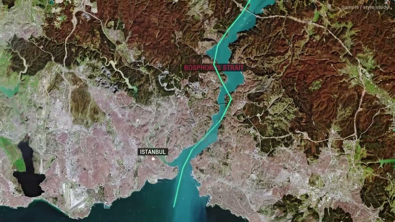
Topic: the Bosphorus, one of the busiest and most dangerous straits in the world. Style: satellite map storytelling, calm authoritative narration, 60 seconds.
2. Reference analysis
Before writing a word we measured three recent videos from a leading geography channel: how much screen time goes to maps, how long shots last, how loud the mix is and how the first seconds are built.
| Measure | Reference | Our demo |
|---|---|---|
| Screen time on animated maps | ~80% | ~80% |
| Opening shot | Satellite map with country label in the first second | Same structure |
| Integrated loudness | −16.9 LUFS | −17.1 LUFS |
| Loudness range | 2.2 LU | 2.3 LU |
3. Script
This strait is only 31 kilometers long, and it might be the most dangerous stretch of water on Earth. More than 100 ships pass through the Bosphorus every day, straight through the middle of a city of 15 million people.
The hook states the claim in the first sentence and backs it with a number in the second. Every figure was checked against a source before recording.
4. Voice, maps and sound
Narration was aligned word by word. That alignment triggers each map move and label, so "Black Sea" appears exactly when it is spoken. The mix was matched to the reference loudness.
5. Result
A 60-second sample that matches the reference's structure and sound, produced from brief to render by our pipeline. Send us your reference and we do the same analysis for your channel, free, as part of your production plan.